Gaussian splat rendered by Spark.
PHOTOREAL CAPTURE + REVIEWED NAVIGATION
Places, madeexplorable.
Walk, fly, move between rooms, and open a live floor plan in the browser. The splat stays visual; reviewed structure drives collision and navigation.
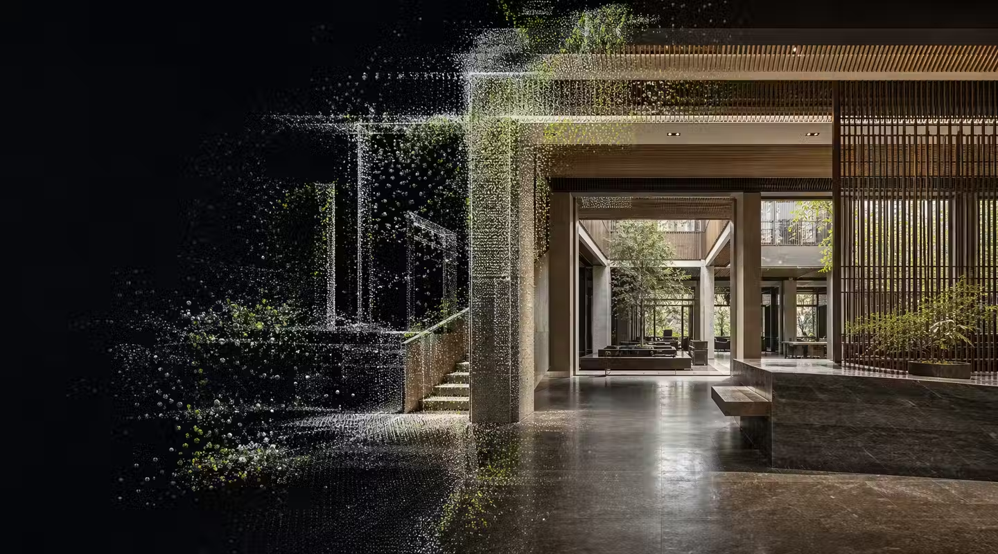
One place. Separate, reviewable layers.
Photoreal web scene
Structural collision
Detour navigation
Portable source assets
A scene is only the beginning.
Each project is prepared for the way people will view, use, measure, and maintain the place.
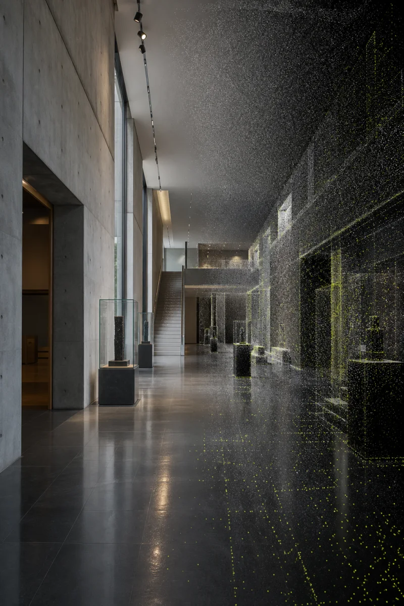
Explore, do not just orbit.
Arrow keys, WASD, touch controls, Walk and Fly modes, guided rooms, and a live floor plan.
Keep the geometry.
Preserve registered point clouds for measurements, floor plans, CAD, BIM, and future processing.
- E57 and LAZ masters
- Defined units and origin
- Project-specific QA
Do not trap the asset.
Archive quality PLY, produce RAD, SOG, or SPZ, and retain collision, navigation, and provenance as versioned derivatives.
Publish with a lifecycle.
Use public links, expiring access, private delivery, immutable releases, and revocation when the site changes.
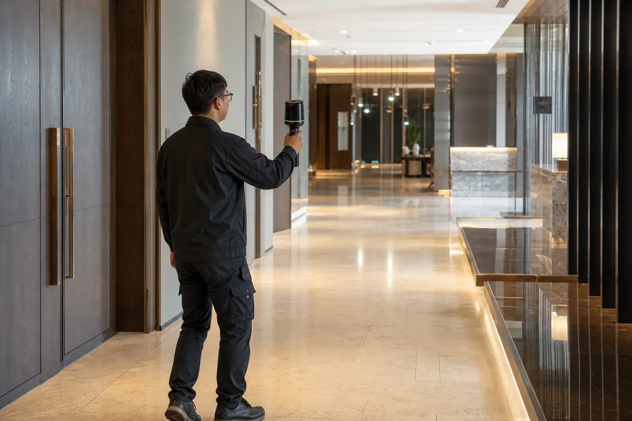
Capture is planned, not improvised.
We scope access, privacy, lighting, reflective surfaces, routes, control, and acceptance criteria before the operator arrives.
- Before
- Site brief, no-capture zones, readiness checklist
- On site
- Coverage assurance, loop closure, control checks
- After
- Integrity, visual, geometry, privacy, and mobile QA
From scan to a maintained asset.
The pipeline separates capture, reconstruction, semantics, and delivery so the device can change without breaking the product.
Source quality
Record the place with context.
Capture geometry, imagery, trajectories, access boundaries, and project control in one traceable source package.
- Output
- Raw scan, images, poses, point cloud, control context
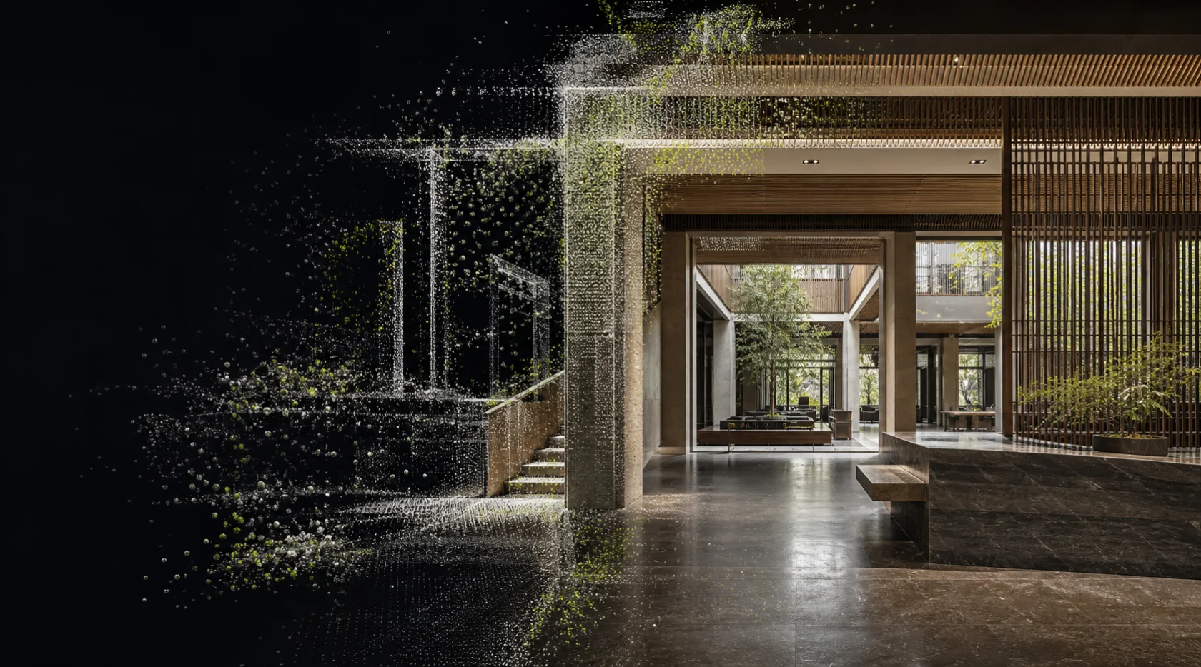
Fast in the browser. Portable beyond it.
We keep appearance, geometry, and navigation separate, then deliver the exact derivative a browser, private portal, or native client needs.
Browser deliverySpark RAD, SPZ, SOG
Visual mastersGaussian PLY, SPZ
Spatial evidencePLY, E57, LAS, LAZ, PTS
Movement packageCollision JSON, validation report, Detour navmesh
Photoreal is not the same as measured.
We label every deliverable clearly so a beautiful scene is never mistaken for verified engineering geometry.
Designed for seeing and exploring.
Property, hospitality, culture, venues, remote visits, storytelling, and navigation.
Visual approximationScoped for defined decisions.
Control points, coordinate systems, tolerances, check-point reporting, and professional review where required.
Project-verified toleranceEvery layer has one job.
Visual
The Gaussian scene supplies appearance, never automatic collision or measurement claims.
Structure
Reviewed floors, walls, ceilings, doors, and furniture groups define physical space.
Navigation
Walk, Fly, room routes, and the floor plan bind to one approved immutable build.
Evidence
Source hashes, units, QA, privacy decisions, and approvals remain independently auditable.
Bring us one place worth entering.
A room, property, venue, campus, or an existing capture export. We will tell you what can be visual, walkable, measured, and portable.
Start a capture